Foldscope, Tardigrade and The Himalayas Part 04
 Dec 01, 2018 • 11:33 AM UTC
 Unknown Location
 140x Magnification
 Microorganisms
Yashas Devasurmutt
Biotechnologist|Photographer|Tardigrade Hunter|Musician|Gamer My Research Interests are Astrobiology, Nanobiotechnology and Artificial Intelligence.
13posts
70comments
3locations
View in Media Gallery
Hey folks, here’s a post about my journey in the Himalayas with Foldscope. Follow me on Twitter and Researchgate to know more.
Lets continue…
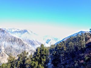
As we finished our journey in Hampta Pass , we returned back to Manali as our trip to Leh – Ladakh was about to start. The valley is one of the biggest biodiversity hotspots, with many of the places unscathed by Human activities. The Mountains and the beautiful valleys will leave one mesmerised for the rest of their lives. I personally can’t thank enough DBT and Team Foldscope for giving such an opportunity.
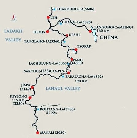
This is the route map for Leh journey from Manali
Lets continue…
As we finished our journey in Hampta Pass , we returned back to Manali as our trip to Leh – Ladakh was about to start. The valley is one of the biggest biodiversity hotspots, with many of the places unscathed by Human activities. The Mountains and the beautiful valleys will leave one mesmerised for the rest of their lives. I personally can’t thank enough DBT and Team Foldscope for giving such an opportunity.
This is the route map for Leh journey from Manali
View in Media Gallery
Manali to Leh Road Map (Height of Passes in meters)
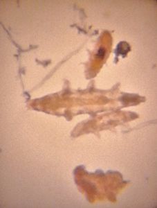
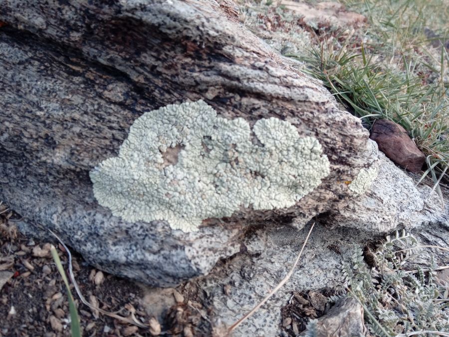
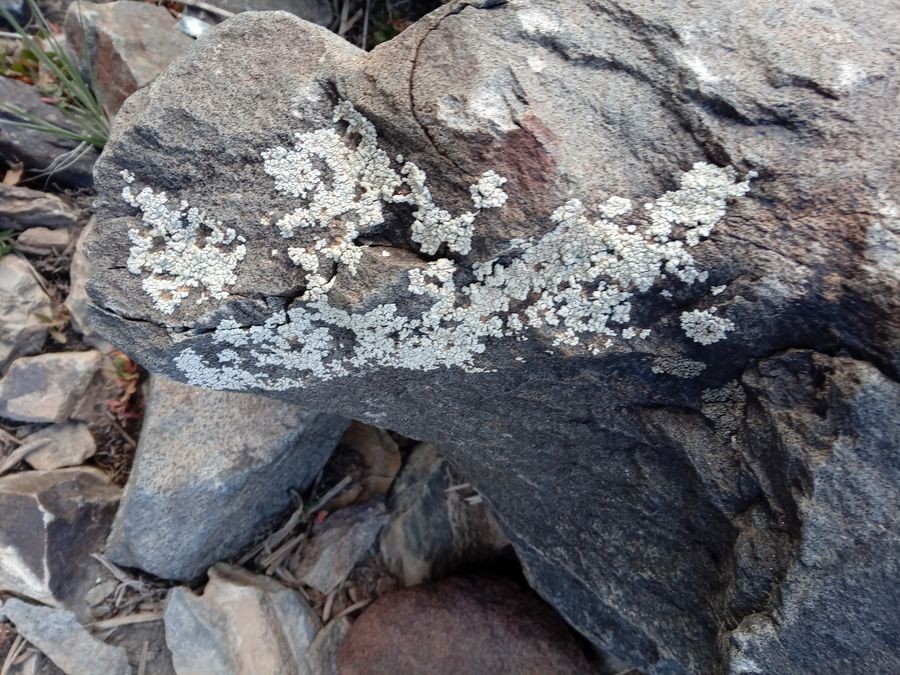
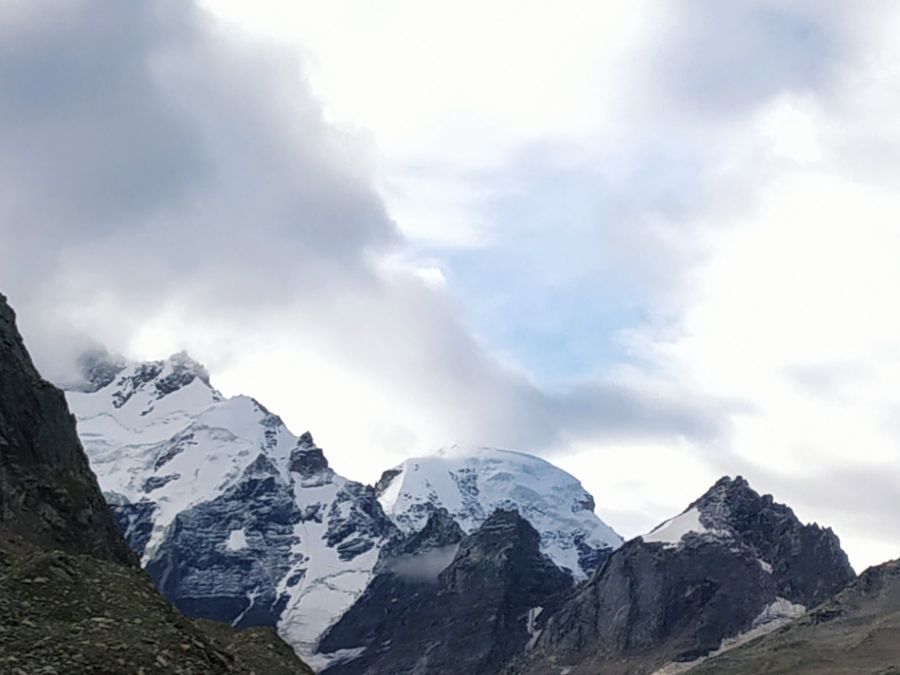
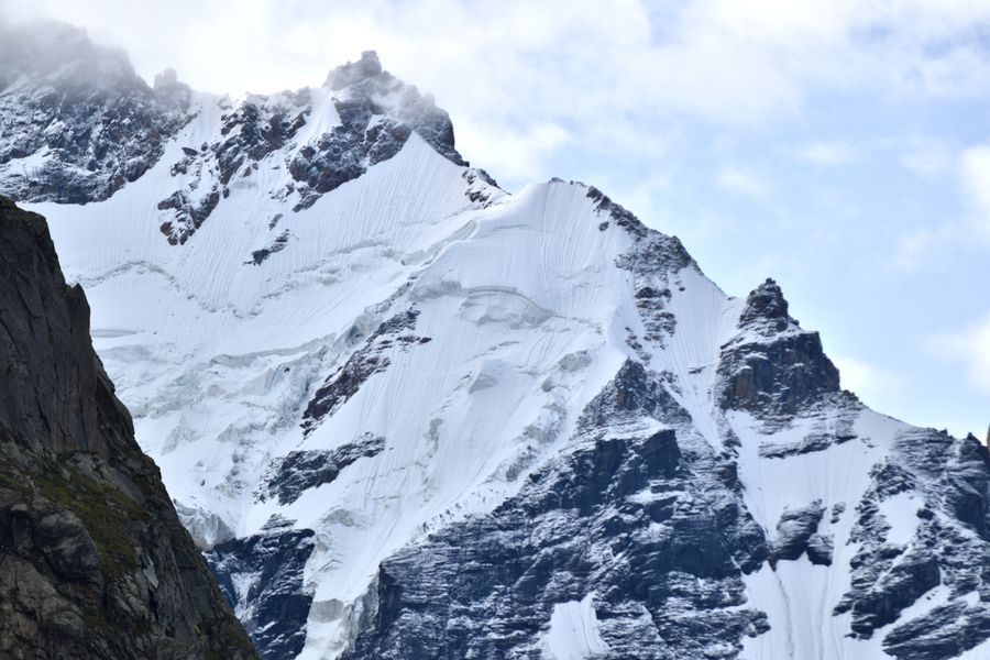
The photos are enough to surprise and mesmerise you folks at the same time, it’s really fascinating to notice that there’s very little vegetation in the region, especially lichens, Although I found some lichen growth in a place called Sarchu (32.9070162 N 77.5812849 E; 4278 m above sea level)
The photos are enough to surprise and mesmerise you folks at the same time, it’s really fascinating to notice that there’s very little vegetation in the region, especially lichens, Although I found some lichen growth in a place called Sarchu (32.9070162 N 77.5812849 E; 4278 m above sea level)

View in Media Gallery
Sarchu 01

View in Media Gallery
Sarchu 02

View in Media Gallery
Me, scraping Lichen Sample
View in Media Gallery
Lichen Sample 01
View in Media Gallery
Lichen Sample 02
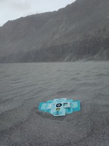
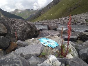
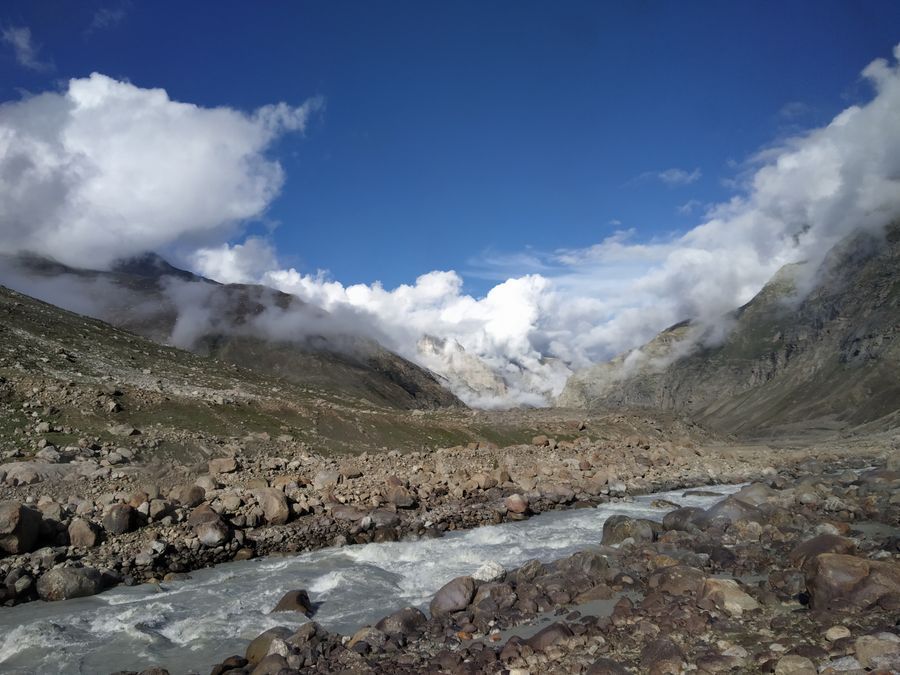
But the search didn’t end at that place, we further traversed towards the north of the region and reached Leh via various passes with subsequent increase in altitudes. We couldn’t find any Lichen growth in the region.
But the search didn’t end at that place, we further traversed towards the north of the region and reached Leh via various passes with subsequent increase in altitudes. We couldn’t find any Lichen growth in the region.
View in Media Gallery
Ladakh valley 01

View in Media Gallery
Small stream in the valley

View in Media Gallery
Ladakh Valley 02

View in Media Gallery
Ladakh valley 03
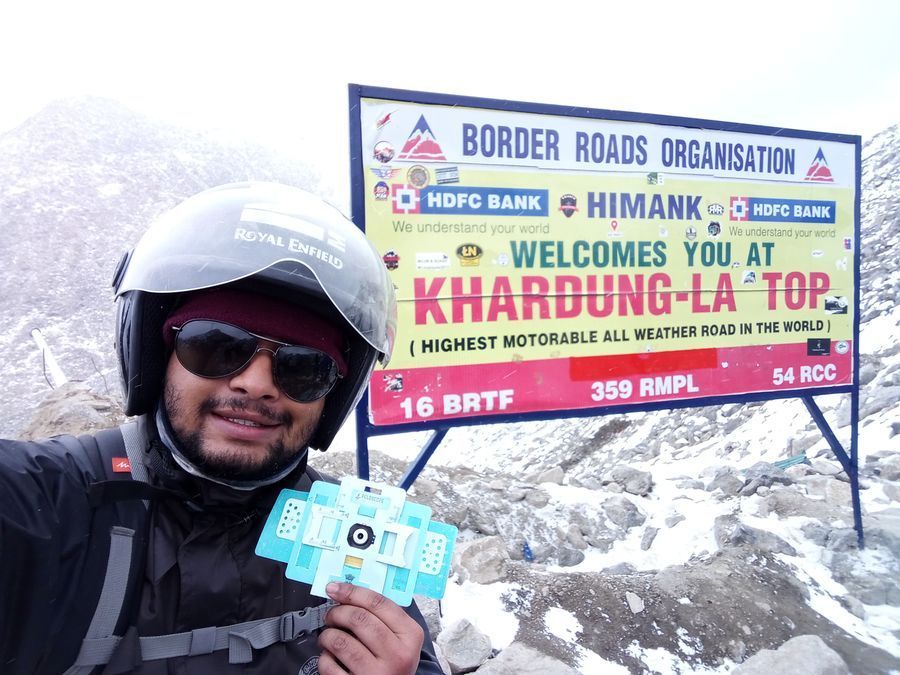
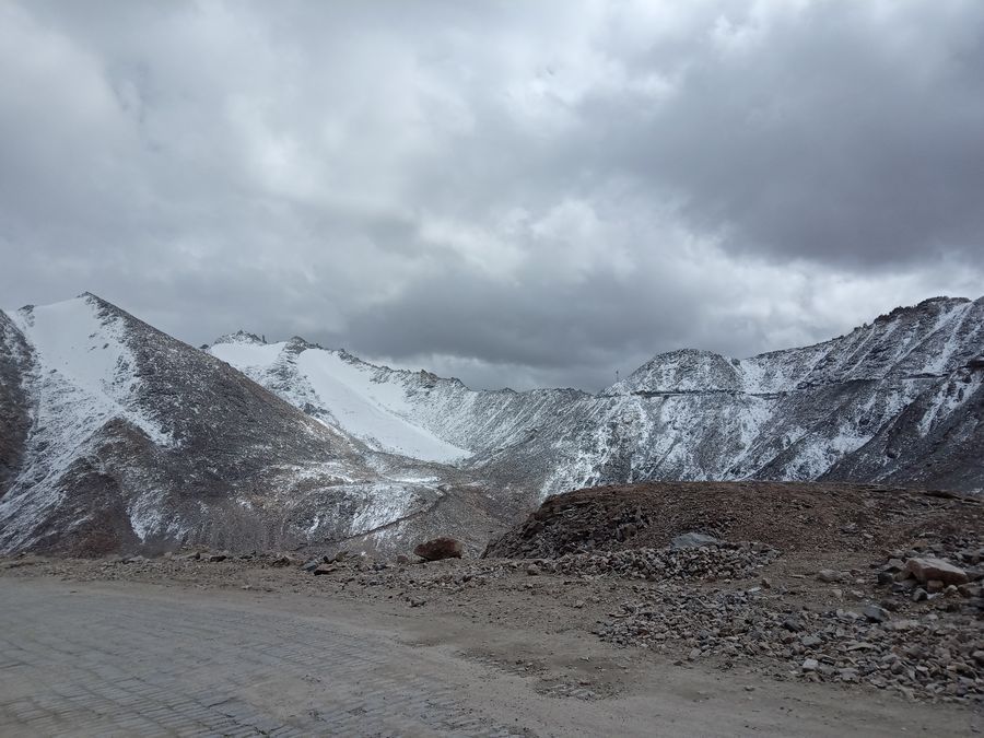
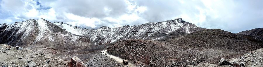
We further traveled north of Leh towards Nubra valley(Coldest Desert of India)
But the only route is via Khardung La Pass (Highest Motorable all-weather road in the World)
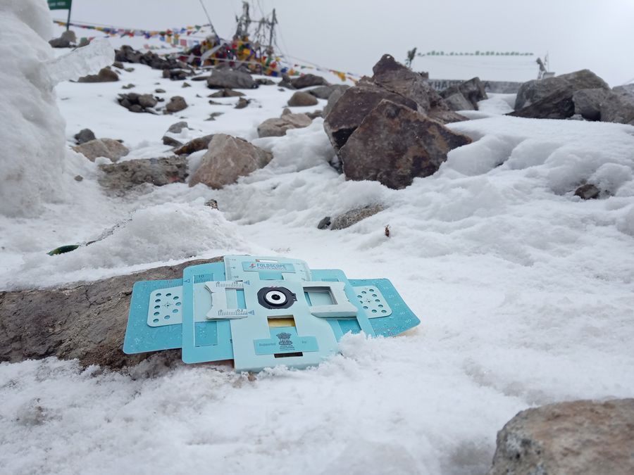
While travelling we experienced all types of weather in the place. The temperature at the top was around -10 degree Celsius. It’s not advisable to stay too long at the top as there is very less amount of Oxygen per Cubic meter. As the altitude increases, the pressure and temperature drops significantly.
We further traveled north of Leh towards Nubra valley(Coldest Desert of India)
But the only route is via Khardung La Pass (Highest Motorable all-weather road in the World)
While travelling we experienced all types of weather in the place. The temperature at the top was around -10 degree Celsius. It’s not advisable to stay too long at the top as there is very less amount of Oxygen per Cubic meter. As the altitude increases, the pressure and temperature drops significantly.
View in Media Gallery
Khardung La 01

View in Media Gallery
Khardung La 02

View in Media Gallery
Khardung La 03
View in Media Gallery
Khardung La 04
View in Media Gallery
Me with the Foldscope in Khardung La
View in Media Gallery
Foldscope in Khardung La
View in Media Gallery
Khardung La 05
View in Media Gallery
Sign in to commentNobody has commented yet... Share your thoughts with the author and start the discussion!

 0 Applause
 0 Comments